SoCalGas
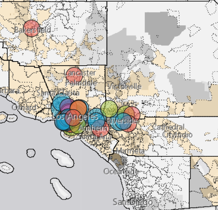
Mapping Black California developed a map visualizing Black Led Organization (BLO) giving patterns in Southern California Gas Company (SoCalGas) territories from 2019 – 2020.

Mapping Black California developed a map visualizing Black Led Organization (BLO) giving patterns in Southern California Gas Company (SoCalGas) territories from 2019 – 2020.

A Google News Initiative funded data hub that allows MBC to
better share and store our curated data sets for analysis and accessibility.
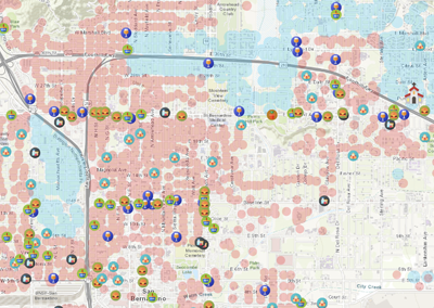
So-called food deserts exist throughout San Bernardino County
and are characterized not only by the lack of affordable grocery
stores within a 1 mile radius, but they are also marked by other
socioeconomic factors such as poverty, racist infrastructure,
unaffordable housing, lack of transportation access and low-income.
A collaborative effort with Black media to statewide working collective on Census 2020 reporting and community engagement for a complete count.
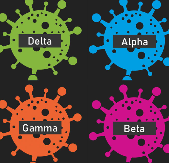
This dashboard that looked at the impact of COVID-19
on Black Bodies in communities around the state.

Join our mailing list to receive the latest news and updates from our team.
Be among the first to know what MBC has going on. Subscribe to our newsletter to stay in the loop.
Recent Comments