by mappingblackca | Apr 5, 2022
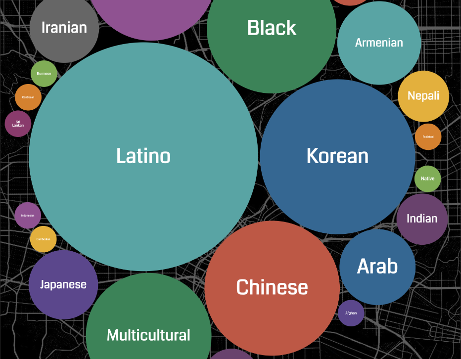
MBC designed and developed a data visualization of news ecosystems in Los Angeles County as a means to identify reach and gaps in information dissemination to socioeconomically and racially diverse Los Angeles County residents.
by mappingblackca | Feb 8, 2022
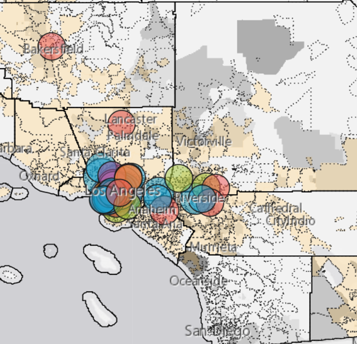
Mapping Black California developed a map visualizing Black Led Organization (BLO) giving patterns in Southern California Gas Company (SoCalGas) territories from 2019 – 2020.
by mappingblackca | Feb 3, 2022
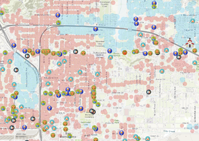
So-called food deserts exist throughout San Bernardino County
and are characterized not only by the lack of affordable grocery
stores within a 1 mile radius, but they are also marked by other
socioeconomic factors such as poverty, racist infrastructure,
unaffordable housing, lack of transportation access and low-income.
by mappingblackca | Feb 3, 2022
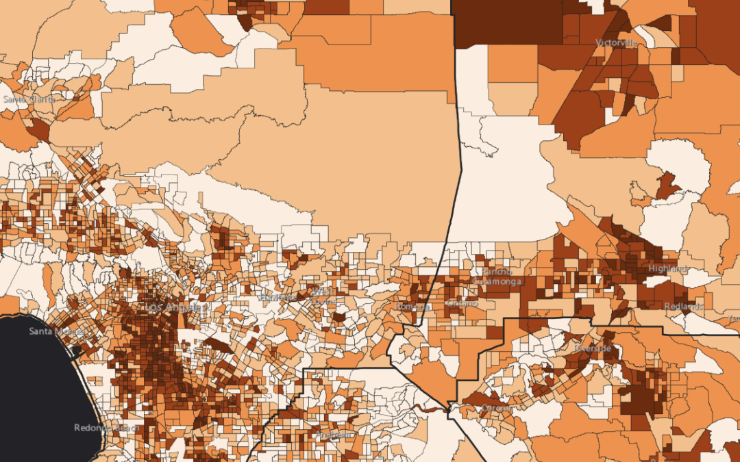
A collaborative effort with Black media to statewide working collective on Census 2020 reporting and community engagement for a complete count.




Recent Comments